Map: Parco Regionale della Vena del Gesso Romagnola – trail CAI 511 + 513
Trail type: loop
Lenght: 11 km
Duration: 6 h
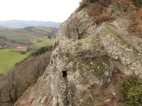
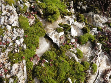
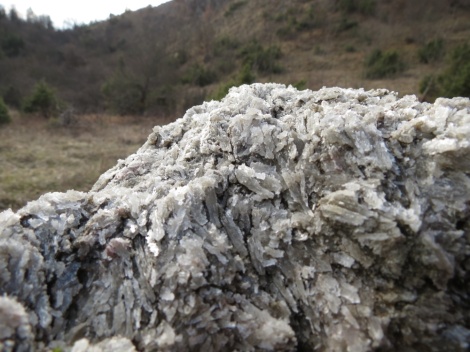
We move forward through a glittering landscape. Hiking between the chalk “bubbles” we sometimes have a strange feeling: when the foot hits the ground, some sort of a dull vibration spreads to the leg bones, giving us the sensation of treading on an empty crust, as if under an apparently solid terrain there was a hollow space: and it’s indeed a riddled subsoil the one we’re walking on. Mount Mauro (515 m) is the highest peak of the Vena del Gesso Romagnola, the largest chalk outcrop in Italy and Europe. Even though there are other similar formations in this region, like the Gessi Bolognesi and the Gessi Triassici of Secchia Valley, here we face a real gypsum ridge that is 25 km in lenght. This landscape is defined by various phenomena due to karstic erosion, like abysses, dolines, sinkholes, blind valleys and caves, the most famous being the Tanaccia, accessible through guided visit on reservation.
The starting point is the church of St. Maria in Tiberiaci. To get there, exit the highway at Faenza and follow signs for Brisighella. From here take the road that goes to Monticino, and after a few kilometers of nice panoramic road, take left to Zattaglia at the crossroads. Soon after the bridge on the Sintria turn right to the “Eremo di Monte Mauro”, or church of Santa Maria in Tiberiaci. The car can be left in the parking of Fattoria Rio Stella and reach the hermitage on foot, or drive on on the rather bad road and park along the road before the church, which is near the trailhead.
As we get to the church, a long-bearded priest comes out carrying a tray with some cups and a smoking moka pot. “Welcome to Monte Mauro!” he addresses us friendly, “This is not for you, though”. He’s actually bringing coffee to the men who are working on the restoration of the building. We ask whether we can leave the car in the small parking of the church, and there are no problems. A cute tail-less cat sees us to the trail start. The funny gray feline, which we’ve appropriately nicknamed “Chalky”, runs down the slope like a skyrunner, then eventually halts and turns back to the parish, while we cross the road and enter the wood. We do the loop clockwise, ulnlike what suggested on the hike description on the back of the map, and the numbers on the placards along the trail. So, we see things in this order: the ridge path overlooking the steephead valley of Rio Stella and its sinkhole, then Mt. Volpe with its gypsum and clay layers, the village of Crivellari, the dirt road going past a few scattered farmhouses, the climb in the wood under Mt. Incisa, the extra steep ascent on the top of Mt. Mauro.
It is also possible to do only two thirds of the hike by taking a shortcut that after about 1,5 km lets you reach trail n.513. We take the crossing (“raccordo”) by mistake, then we walk back to continue the full tour: that’s why the GPS track charts a “8” shape instead of a loop. However, elevation and distance is also wrong on that track: Runtastic is ok for running, but turns out not to be very reliable for hiking.
After giving our boots soles a taste of the crunchy soil of alpine trails, we’re back to the clay-based terrain of our own pre-Appennine hills. Which means: lots of mud. It’s safe to say that this hike has an “E” difficulty level, even though a few stretches, especially the last climb on Mt. Mauro just before getting back to start, is quite steed and exposed. Moreover, the trail is quite slippery when wet. In our case it has rained the day before and, although gypsum has a rough surface that provides good grip, there are also many parts where the terrain is slippery, muddy clay. Hiking poles are great help. It would be better to do this 6-hour hike in summer when it’s dry and daylight lasts longer. On the other hand it’s quite hot in summer given the low elevation. Despite this, this hike is not to be underrated, because the constant rise and fall makes it a bit tiring.
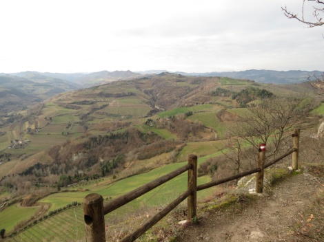
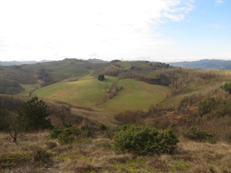
The trail is well marked and mantained, with interpretation boards at about every km. The area is a strict nature reserve where alpine plants and a a rare fern, Cheilantes persica, can be found. The vegetation on the ridge is similar to Mediterranean bush, but shorter, and it is called garrigue. Besides being of botanical and geological interest, the walk is scenic all the way long. This is especially true for the first part of the tour, because the trail always runs on the crest or halfway up the hill. There is a great view on the countryside with its badlands and fields. We see many fallow deer and boar tracks, but we can’t spot any wild animal, apart from a few birds of prey. We actually don’t see any people all day, either.
Here we are, back to the church. We jump into the car and leave, but before going home we stop for tea at Carnè Park refuge, where we are delighted to meet Artica, the stunning Czechoslovakian Wolfdog, again.

